Citizen Journal Unveils Hyper-Local Storm Centers for Kansas
Access real-time radar, live traffic cameras, and up-to-date cancellation lists for McPherson, Ark Valley, Hays, and Hutchinson.


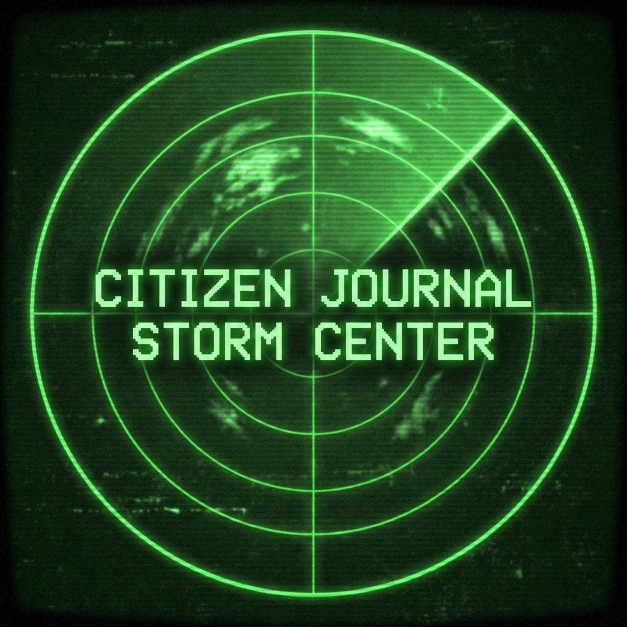
Citizen Journal has launched a network of dedicated Storm Centers designed to provide hyper-local weather intelligence for specific Kansas communities. These hubs consolidate real-time data into single dashboards, allowing residents in McPherson, the Ark Valley, Hays, and Hutchinson to access critical safety information during severe weather events.
What the Storm Centers Offer
Each regional Storm Center is tailored to its specific area, moving away from generic statewide summaries to focus on the impacts right outside your door. Key features include:
- Live Radar Loops: Direct feeds from local NWS stations (such as KICT in Wichita and KDDC in Dodge City) to track precipitation and storm cells in real-time.
- Traffic Camera Feeds: Live visual confirmation of road conditions from key arteries, including I-135, I-70, K-61, and US-50.
- Closings & Cancellations: An updated list of local school, business, and event cancellations specific to each community.
- NWS Forecast Stories: The latest graphiccasts and weather narratives from the National Weather Service.
- Citizen Reports: A dedicated system for locals to submit storm damage reports and photos directly to the newsroom.
Access the Storm Centers


Resources for Kansans Statewide
For residents living outside these specific coverage zones, or for those traveling across the state, the following resources are essential for monitoring severe weather and road conditions:
Road Conditions & Travel
- KanDrive (KDOT): The official Kansas Department of Transportation map. It provides statewide data on road closures, construction, and winter road conditions (e.g., snow-packed, ice).
- Website: www.kandrive.org
- Phone: Dial 5-1-1 within Kansas.
National Weather Service (NWS) Offices
Identify your county's NWS office for official watches and warnings:
- NWS Wichita: Covers Central, South Central, and Southeast Kansas. (weather.gov/ict)
- NWS Topeka: Covers Northeast and East Central Kansas. (weather.gov/top)
- NWS Dodge City: Covers Southwest and West Central Kansas. (weather.gov/ddc)
- NWS Goodland: Covers Northwest Kansas. (weather.gov/gld)
- NWS Pleasant Hill (KC): Covers the extreme eastern border and KC metro. (weather.gov/eax)
Precipitation Reporting
- CoCoRaHS: The Community Collaborative Rain, Hail & Snow Network allows volunteers to map precipitation across the entire state, often filling gaps between official radar stations. (cocorahs.org)
Brought to you by
Found a mistake? Have a news tip or feedback to share? Contact our newsroom using the button below: